Exploring their world
21 Mar 2017
Geography is all about the world in which we live – and one of the best ways to understand it is to get out there and study its landscapes, people, places and environments. In recent weeks, College geography students in Years 9, 10 and 12 have taken field trips to look at different aspects of this captivating subject.
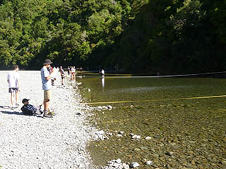
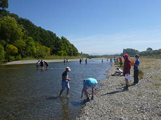
On Tuesday 21 February, three Year 10 classes headed to the Ashley River, as water quality issues in the Selwyn River had necessitated a change of venue. Starting at Ashley Gorge, the boys measured river width, depths at one-metre intervals and recorded the speed of the flow. They also recorded the intermediate axis length of the river stones, which allowed them to calculate an average size, and calculated river discharge in cumecs. The group then followed the river downstream, repeating the same measuring exercises at two more stops, noting changes along the river in land use and river landforms. Back at College they used their group data to write an individual report.
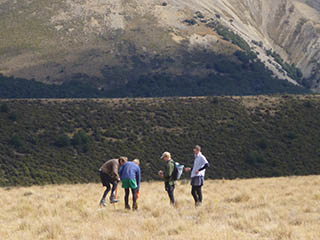
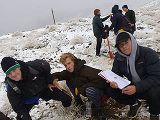
On Tuesday 7 March, Year 12 students set off for the annual South Island High Country field trip, staying at Mt Cheeseman Forest Lodge. Over three days, the boys were taken to representative sites in the Craigieburn Basin to show them the variety of environments found from the mountain tops down to the dry basin floor. At each site the boys measured and recorded climate, soil, vegetation and landform details. They had, thankfully, been advised to pack gear suitable for all conditions, as on the Wednesday they were working in unseasonable snow at the top site in a cirque basin below the peak of Mt Cockayne. The group returned to College on Thursday 9 March. The students are expected to write a research report (worth 5 credits) on interactions they have observed, and explain why they occur. In addition to this research standard, they can use information from the trip in their next internal assessment on the wilding pine issue, as well as in the final external examination on natural landscapes.
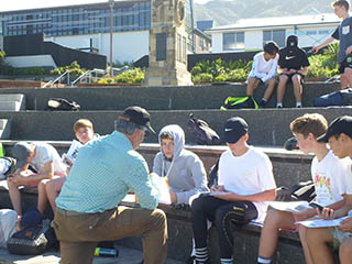
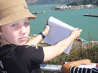
Finally, on Friday 17 March, Year 9 students took a trip to Lyttelton to investigate land use and learn the techniques of land use mapping. Lyttelton is a perfect location for this type of study as it is an urban environment that is undergoing dynamic and rapid change. A picnic lunch and swim at Corsair Bay proved a welcome break, before ending the day with a discussion about the history of Lyttelton and sketching the layout of the port. The boys used the information gathered to write a report and create a computer-generated land use map.
|
